Iteratively merge spatial units to ensure all of them meet a minimum area threshold.
Source:R/st_merge_spatialunits.R
st_merge_spatialunits.RdIteratively merge spatial units to ensure all of them meet a minimum area threshold.
Usage
st_merge_spatialunits(
  x,
  merge_threshold,
  merge_type = "min_centroid_distance",
  contiguity = "rook",
  verbose = T
)
Arguments
- x
a
sfobject withPOLYGONgeometries representing the spatial units to be merged.- merge_threshold
numeric; value in square meters represents the smallest acceptable area for a spatial unit. Contiguous units will be iteratively merged until this value is reached. To skip this process, set
merge_threshold = NULL.- merge_type
string; criteria with which polygons are merged. Must be one of "min_centroid_distance", "min_adjacent_area", "max_adjacent_area", "min_shared_boundary", or "max_shared_boundary". Default = "min_centroid_distance".
- contiguity
string; one of "queen" or "rook". Default = "rook".
- verbose
logical; if
FALSEno status messages will be output.
Examples
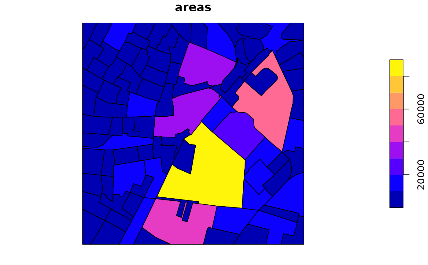
street_blocks <- st_create_streetblocks(x = bangalore_highways,
boundary = bangalore_boundary, merge_threshold = NULL, verbose = FALSE)
#> Warning: Small geometries (< 1 m^2) may be present. Use st_merge_spatialunits() to aggregate them.
street_blocks_merged <- st_merge_spatialunits(x = street_blocks,
merge_threshold = 4050, verbose = FALSE)
#> Warning: The `sf` geometry column was renamed before merging.
plot(street_blocks_merged)